Tides End Manor House

Tides End Manor House

Tides End Manor House (Найсне,Южно-Африканская Республика)

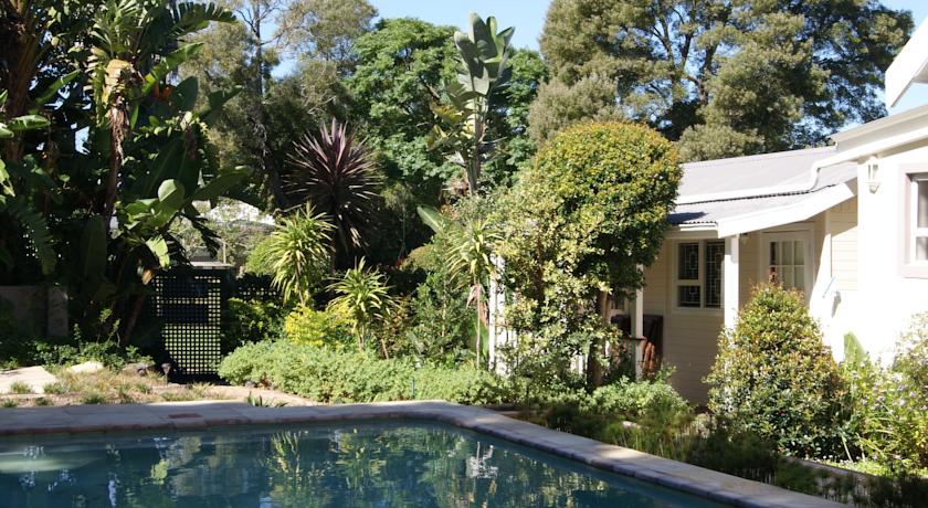
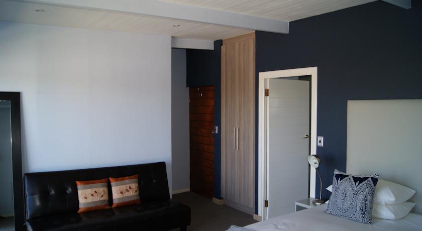
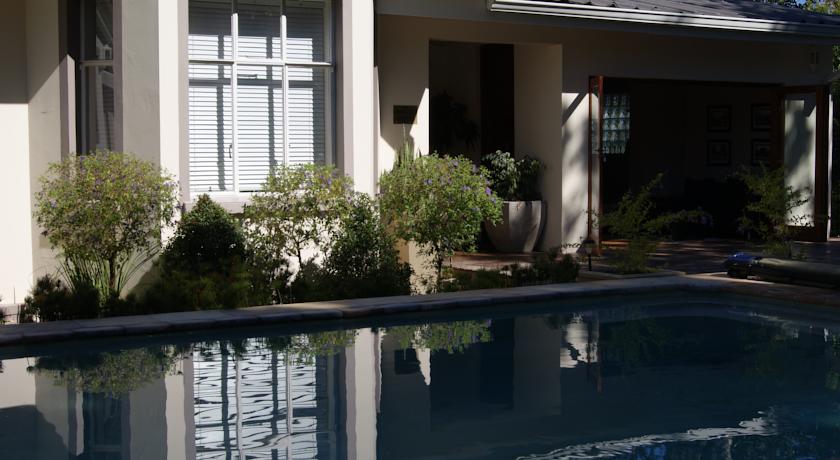
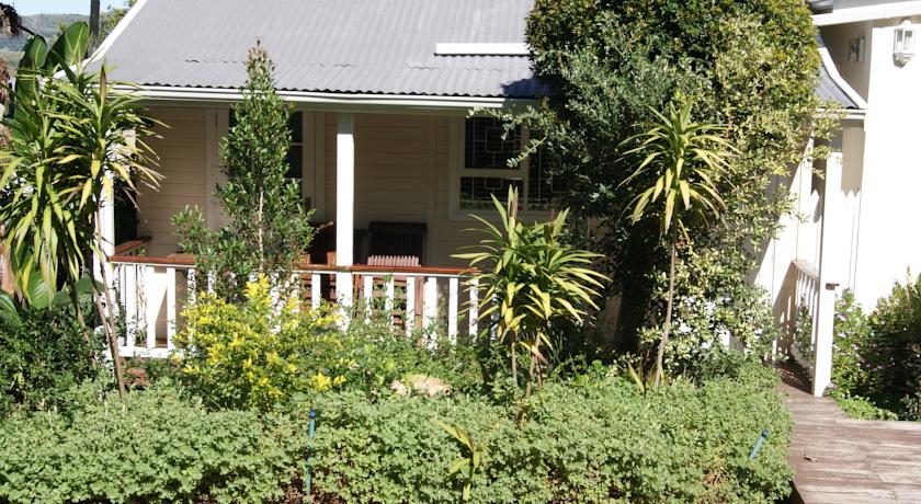
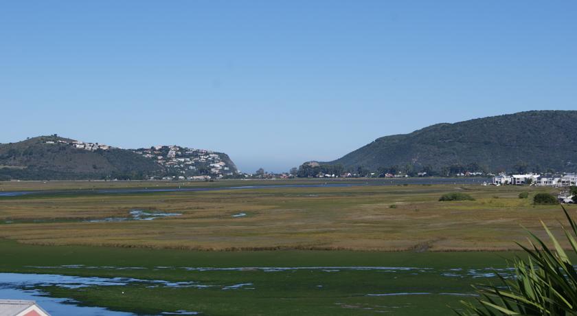
Категория отеля:
Адрес: 39 Tides End, 12 Holiday Park Crescent, 6571 Найсне, Южно-Африканская Республика
Описание: Offering an outdoor pool, Tides End Manor House is located in Knysna. The accommodation will provide you with 9 en suite bedrooms with showers. There is a full kitchen with a dishwasher and a microwave. You can enjoy a lake view or garden view from all the rooms.Other facilities offered at the property include an ironing service and a laundry. The property offers free parking.If you feel like visiting the surroundings, check out Simola Golf Course (4.4 km) and Knysna Forest (4.4 km).
Еда и питье:
На свежем воздухе: Открытый плавательный бассейн
Парковка: Бесплатно! Бесплатная Частная парковка на месте (предварительный заказ не требуется) .
Услуги: Отопление, Курение на всей территории объекта размещения запрещено
Спорт и отдых:
Сервис: Прачечная, Услуги по глажению одежды, Дневная уборка номера
Интернет: Доступ в интернет отсутствует.
Языки общения:
Время заезда/выезда: 11:00 - 17:00 / До 10:00
Домашние животные: Бесплатно! Размещение домашних животных допускается по предварительному запросу. Дополнительная плата не взимается.
Банковские карты:
Номерной фонд: Дом для отпуска - вместительность: 17
Координаты: ш. -34.03861794045873 д. 23.06381106376648 на карте
 

Каталог отелей.

Игры ⚽ Поможем решить контрольную работу

Полезное


Смотреть что такое "Tides End Manor House" в других словарях:

  • United Kingdom — a kingdom in NW Europe, consisting of Great Britain and Northern Ireland: formerly comprising Great Britain and Ireland 1801 1922. 58,610,182; 94,242 sq. mi. (244,100 sq. km). Cap.: London. Abbr.: U.K. Official name, United Kingdom of Great… …   Universalium

  • Sully, Vale of Glamorgan — infobox UK place country = Wales welsh name= constituency welsh assembly= latitude= 51.41 longitude= 3.21 official name= Sully ( cy. Y Sili) unitary wales= Vale of Glamorgan lieutenancy wales= South Glamorgan constituency westminster= post town=… …   Wikipedia

  • Bishop Auckland — Infobox UK place country = England official name= Bishop Auckland population = 24,392 (2001)Citation title = 2001 Census Profiles (Numbers) for Major Centres in County Durham publisher = Durham County Council url =… …   Wikipedia

  • Southport — For other uses, see Southport (disambiguation). Coordinates: 53°38′43″N 3°00′30″W / 53.6454°N 3.0083°W / 53.6454; 3.0083 …   Wikipedia

  • Cramond — Harbour Population 7,502 (2001) OS grid reference …   Wikipedia

  • Ilkley Moor — Cow and Calf rocks Elevation 402 m (1,319 ft) …   Wikipedia

  • Penarth — infobox UK place country = Wales welsh name= constituency welsh assembly= latitude= 51.43 longitude= 3.17 official name= Penarth unitary wales= Vale of Glamorgan lieutenancy wales= South Glamorgan constituency westminster= Cardiff South Penarth… …   Wikipedia

  • Southampton — For other uses, see Southampton (disambiguation). Southampton   Unitary City   Montage of Southampton …   Wikipedia

  • New Rochelle, New York —   City   Seal …   Wikipedia

  • Isle of Portland — infobox UK place country = England official name= Isle of Portland map type = Dorset latitude= 50.550 longitude= 2.440 population = 12,710cite web| year = 2005 | url = http://www.dorsetforyou.com/index.jsp?articleid=343603 | title=Portland… …   Wikipedia


Поделиться ссылкой на выделенное

Прямая ссылка:
Нажмите правой клавишей мыши и выберите «Копировать ссылку»